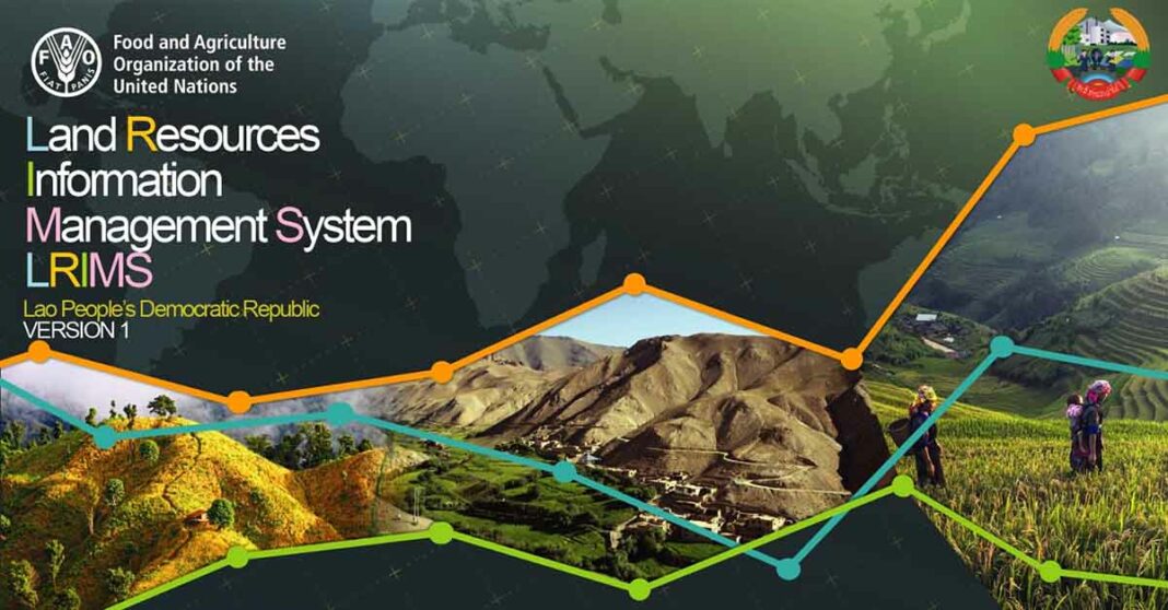
Lao Agriculture looks to future as Land Resources Information Management System (LRIMS) permits public access to detailed future scenarios amid climate change for free with help from Food and Agriculture Organization of the United Nations (FAO) and the Global Environment Facility (GEF).
Access to climate data is critical for planning the future of agriculture and forestry amid climate change. In Laos, the capacity to produce agro-environmental datasets has increased drastically over the last few years.
The results are found in the Land Resources Information Management System (LRIMS), the first big data system in the South-East Asian nation that has now been launched.
Maps on cropland areas, soil, land use, and livelihood of farmers are now available.
In addition, modelling of climate change and future crop scenarios can also be produced.
The tool and all the data contained on it are produced and managed by Lao experts.
A presentation on LRIMS was made by Vice Minister at the Minister of Agriculture and Forestry Mr. Kikeo Singnavong at an online gathering of policymakers and experts on Thursday 18th of November.
Mr. Kikeo confirmed that the information provided by LRIMS will be available for public use.

This can lead to better-informed decisions, and for the government, a stronger basis for evidence-based policymaking.
He added that this data will support reaching the objectives of the 9th National Socio-Economic Development Strategy (9th NSEDP) for Lao PDR.
The GEF-funded project “Strengthening agro-climatic monitoring and information systems to the adaptation to climate change and food security in Lao PDR” (SAMIS project) has been ongoing for four years.
The project is implemented by FAO and led by the Department of Meteorology and Hydrology.
LRIMS has been developed by the Department of Agricultural Land Management (DALaM) of the Ministry of Agriculture and Forestry. LRMIS is available at the URL: https://lrims-dalam.net and a mobile phone app are also under development.
Such tools provide the agronomic data backbone for various applications including the quantification of land productivity as well as several key information for agricultural and rural investment planning.
The tool allows actors to prioritize areas for investment, including knowing more about where land may be suitable for agricultural production over the longer term.
This will help also in the preparation for new economic corridors, allowing to plan for zones with better productivity that are also nearby to special economic zones or train stations.
FAO Representative Mr. Nasar Hayat said that FAO is also supporting the preparation of the second phase of the SAMIS project. “This is a tool that can support a completely different method for making decisions because it explores the potential expansion or contraction of
crops in the land.”
Mr. Nasar said FAO would continue to work to support agricultural sector information systems improvement.
Lao Climate Service for Agriculture (LaCSA) & LRIMS have been financed via the FAO’s GEF-funded project “Strengthening agro-climatic monitoring and information systems to the adaptation to climate change and food security in Lao PDR” (SAMIS project).


