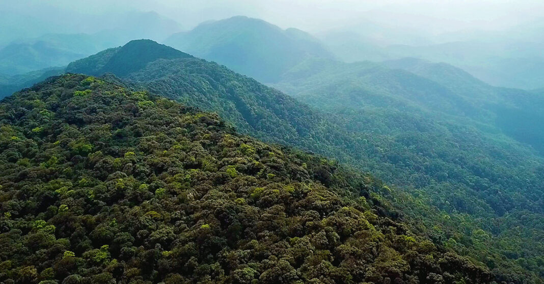
Laos is leveraging satellite remote sensing technology to calculate carbon stocks across nine forest areas in the country totaling 170,556 hectares.
The objectives of this project are to unlock the country’s carbon credit potential and gain certification by late 2025, said the Ministry of Agriculture and Forestry in a Carbon Credit Feasibility Study Session on 8 January.
This effort aligns with Laos’ goal to achieve carbon neutrality by 2050 and the global “30×30” target of projecting 30 percent of the world’s land and oceans by 2030.
Officials anticipate the initiative will generate significant revenue, which could be reinvested in biodiversity conservation, community development, and forest management.
The feasibility study found that selected forest areas hold strong potential for carbon credit generation. Satellite technology not only ensures transparency by reducing fraud but also lowers costs and speeds up the process of carbon accounting.
Beyond forestry, the project is also looking at expanding satellite monitoring to agriculture, including rubber plantations and orchards. This could encourage sustainable farming practices while boosting rural incomes.
The initiative builds on an August 2024 agreement between the Lao government, Carbon Registry Thailand (CRT), and Carbon Credit Laos (CCL), which introduced advanced satellite AI for carbon credit calculations.
With nearly 16 million hectares of forest, Laos has significant potential to expand its carbon credit system. By integrating advanced technologies like satellite monitoring, the country aims to better protect its natural resources, reduce emissions, and explore new opportunities for economic development.


